

EXPEDIENT INDEX
- Introduction: The Southernmost Enigma
- The Ramayana Beyond Mythology: A Geographical Record?
- Nilesh Oak's Groundbreaking Research
- Decoding the South: A Boundary, Not a Destination
- The River Corridor: Narmada to Kaveri
- Mountain Markers: Malaya & Mahendra Parvata
- The Canopus Clue: Anchoring the Ramayana to 14,000 Years Ago
- Ice Age Coastlines and Natural Land Bridges
- Lanka: A Known Location, A Deliberate Withholding
- The Realm Beyond: Hostile Seas and the Land of No Return
- Antarctica: Ancient Maps and the Final Boundary
- Audience Reactions and Interpretations
- Investigator's Verdict: Mythic Geography or Literal Record?
- The Investigator's Archive
- Frequently Asked Questions
Introduction: The Southernmost Enigma
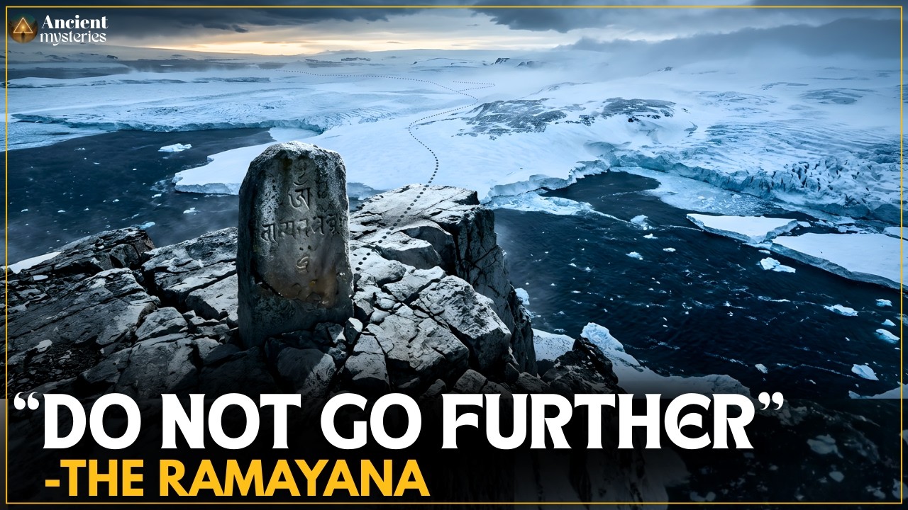
The vast narrative of the Ramayana, a cornerstone of ancient Indian literature, is often interpreted through the lens of mythology, dharma, and epic battles. However, what if this ancient text also served as a geographical atlas, detailing a world vastly different from our own? This investigation delves into an unsettling hypothesis: that the Ramayana contains descriptions not of a mythical realm, but of the actual geography of Earth during the last Ice Age, specifically pointing towards the frigid continent of Antarctica as a "realm of no return." We examine research that suggests the southern reaches of the Ramayana's world were not a territory to be conquered, but a stark, insurmountable boundary.
The Ramayana Beyond Mythology: A Geographical Record?
The traditional understanding of the Ramayana places its events within a specific cultural and historical context in ancient India. Yet, a growing body of research challenges this conventional view, proposing that the epic’s intricate details—its rivers, mountains, and descriptions of distant lands—might function as literal geographical markers. This perspective reimagines the narrative not as pure allegory, but as a preserved memory of a prehistoric world, a cartographic record from a time when the Earth’s geography was dramatically altered by glacial cycles. The central question becomes: could the epic’s seemingly fantastical descriptions be a veiled account of Ice Age coastlines and forgotten continents?
Nilesh Oak's Groundbreaking Research
Central to this compelling hypothesis is the meticulous research of Mr. Nilesh Oak. His work, documented in several essential books, applies principles of astronomical and geographical dating to ancient Indian texts, primarily the Ramayana and the Mahabharata. Oak's approach strips away later mythological accretions to reveal a potential core of historical and geographical data. His research suggests that by analyzing astronomical references and geographical descriptions, particularly those concerning the movement and placement of stars and continents, we can anchor these ancient narratives to specific timeframes. This video draws heavily upon his findings, urging viewers to consider the Ramayana not merely as scripture, but as a potential witness to a lost chapter of Earth's history.
“This video draws on the research of Mr. Nilesh Oak. His books are essential reading for anyone interested in the astronomical and geographical dating of the Ramayana.”
For those seeking a deeper understanding, Oak's published works offer invaluable insights:
- 📖 Sugriva's Atlas — https://amzn.to/4szvxJR
- 📖 When Did the Mahabharata War Happen? — https://amzn.to/40n3scF
- 📖 12209 BCE — https://amzn.to/3Nttd8g
- 📖 Bhishma Nirvana — https://amzn.to/3NhmkGZ
- 📖 Historic Rama — https://amzn.to/4svpi9S
Decoding the South: A Boundary, Not a Destination
The narrative's trajectory shifts dramatically when it directs attention southward. While previous textual expeditions described lands ripe for exploration, the south possesses a distinct character: it is presented as a boundary, a limit beyond which safe passage is impossible. Following the precise instructions attributed to Sugriva, the narrative guides us methodically towards India's southern edge. This focus on the south is not accidental; it is portrayed as a critical and unsettling direction, a point of demarcation in the world as understood by the Ramayana's ancient authors.
The River Corridor: Narmada to Kaveri
The journey south is meticulously mapped through a sequence of major Indian rivers. The narrative traces a route originating from the Narmada River, proceeding through the Godavari and Krishna, and finally reaching the Kaveri. This established river corridor serves as a geographical spine, grounding the epic's southward exploration in a series of identifiable landmarks. Analyzing this sequence allows researchers to chart a potential path taken by the characters, moving systematically from the heartland towards the peninsula's tip, each river marking a stage in the descent towards the world's edge.
Mountain Markers: Malaya & Mahendra Parvata
As the narrative progresses southward, specific mountain ranges are identified: Malaya Parvata and Mahendra Parvata. These are not merely incidental geographical features but serve as crucial waypoints, reinforcing the epic's geographical grounding. Their presence helps anchor the described journey, acting as markers on a prehistoric map. The identification and location of these mountains are key to understanding the intended scope of the Ramayana's world and the geographical understanding of its creators. Their mention signifies the approach to the extreme southern limits of the known world.
The Canopus Clue: Anchoring the Ramayana to 14,000 Years Ago
A critical piece of evidence emerges with the astronomical reference to Agastya, identified with the star Canopus. The position and visibility of Canopus in the night sky are strongly tied to geographical latitude. By calculating when the star Agastya would have been prominently visible from the southern regions of India, as implied by the text, researchers can establish a potential timeframe for the Ramayana's composition or the events it describes. This astronomical alignment strongly suggests a period approximately 14,000 years ago, placing the narrative firmly within the last Ice Age.
“The astronomical reference to Agastya (Canopus) – a detail that may anchor the text to a time nearly 14,000 years ago.”
Ice Age Coastlines and Natural Land Bridges
The hypothesis posits that the Ramayana's geography aligns with the Earth's configuration during the Pleistocene epoch, the last Ice Age. During this period, significantly lower sea levels exposed continental shelves and created natural land bridges, drastically altering coastlines. The description of landmasses and routes within the Ramayana could correspond to these Ice Age coastlines and the now-submerged topography. Archaeological evidence and paleogeographical reconstructions of this era are crucial for validating the idea that the epic might be describing a world shaped by glacial maximums, including potential land connections and altered shorelines.
Lanka: A Known Location, A Deliberate Withholding
Within this geographical framework, Lanka is presented not as a mythical island far removed from the earthly realm, but as a known, albeit distant, location. However, the narrative surrounding Lanka takes a significant turn. Beyond this established point, Sugriva's instructions become cautionary. The text warns of perilous seas, islands that are unreachable, and a final southern land associated with profound darkness and danger—a place from which no return is possible. This transition from description to explicit warning suggests a fundamental shift in the nature of the territory being discussed.
The Realm Beyond: Hostile Seas and the Land of No Return
The climax of the southward description is a stark warning. Beyond the established boundaries of Lanka, the Ramayana speaks of hostile seas, islands lost to the ocean, and a final, desolate land. This region is imbued with connotations of absolute finality: darkness, danger, and the impossibility of return. This is not the description of a land to be conquered or explored, but a boundary not to be crossed. When interpreted literally, through the lens of Ice Age geography, these descriptions find a chilling parallel with the southern polar continent.
Antarctica: Ancient Maps and the Final Boundary
The hypothesis proposes that this "realm of no return" described in the Ramayana is, in fact, Antarctica. At the time suggested by the astronomical clues (around 14,000 years ago), Antarctica, though likely still covered in ice, represented a distinct and formidable geographical limit. The hostile seas, unreachable islands, and the extreme conditions align with the known environment of the Antarctic continent during the late Pleistocene. This interpretation suggests the Ramayana preserves a memory of a world with known boundaries, where Antarctica was recognized not as a place of habitation or conquest, but as the ultimate demarcation—the edge of the map.
“When read literally, the description aligns with a frozen southern continent—Antarctica.”
“This episode explores the possibility that the Ramayana preserves a memory of a world that was already mapped a finite Earth with known boundaries. The south was not a place to conquer. It was a line not to cross.”
Audience Reactions and Interpretations
The exploration of such provocative theories inevitably sparks diverse audience reactions, as seen in the comments accompanying related content. Some viewers propose alternative timelines, suggesting the Ramayana’s events occurred much earlier, close to a million years ago, referencing archaeological tests on the bridge between Tamil Nadu and Sri Lanka. Others draw parallels to fictional boundaries, likening the southern warning to the "game of Thrones behind the ice wall." There are also interpretations linking ancient texts to different regions, such as a story involving Ravan's Atmalinga potentially buried near Mecca and Medina. One deeply intriguing comment, presented as a translation from ancient monastic texts, posits that Antarctica was once situated near Africa, broke away due to an "explosion," and became the burial place of "original Gods" along with their advanced technology, prompting questions about why every nation claims a stake in the continent today. These comments highlight a broad spectrum of engagement, from historical debate and mythological parallels to speculative theories about ancient technology and divine origins.
“Treta Yuga was Rams Ramayana time, the number in the vedas is close to 1 million years. 14000 years ago was dwarpa Yuga, long after Ramayana. The bridge between tamil nadu and sri lanka has been tested by archeologists, also placing the stone formation to 1 million years.”
“It's kind of like Game of Thrones behind the ice wall”
“I read every comment — drop your thoughts below! 👇”
“The Monk then states that the first translation was done long ago and the texts were from around the time that Antarctic was on the side of Africa. The Monk states that it to be very old as in the time of the original Gods. The Monk states that an explosion in Africa close to the ocean, Antarctica broke away and it was forced to our southern pole. But that's not what intrigued the Monk. The Monk then goes to say the reason why Antarctica was forced away. The Monk says, ‘The text says it's the home of the original Gods and they were cast away’. But it's supposed to be the burial place of the original Gods. All their technology, ships, weapons, and everything else that those who sent them away felt others should not have. It makes you wonder about it. I mean every country in the world has staked a claim to Antarctica. So why does everyone want it. There could be many reasons why, but knowing this makes you wonder.”
Investigator's Verdict: Mythic Geography or Literal Record?
The hypothesis that the Ramayana describes Ice Age geography, culminating in Antarctica as a definitive boundary, is a fascinating proposition. Nilesh Oak's methodology offers a rigorous framework for approaching ancient texts as potentially containing empirical data rather than solely mythological narratives. The convergence of geographical descriptions (river corridors, mountain markers), astronomical clues (Canopus), and the stark warning about the southern extreme lends significant weight to the interpretation. While the idea of a 14,000-year-old record pointing to Antarctica is extraordinary, it aligns with the growing field of forbidden archaeology that seeks to reconcile ancient texts and myths with a re-evaluated geological and historical timeline. The evidence suggests that the Ramayana, when stripped of later allegorical interpretations, may indeed offer a window into a world radically different from our own, a world where the southern pole was recognized as the ultimate, impassable frontier.
The Investigator's Archive
To further your research into the intersection of ancient texts, lost civilizations, and unconventional historical paradigms, consult the following resources:
- Books by Nilesh Oak: As detailed above, his works provide foundational research for astronomical and geographical dating of Indian epics.
- Documentaries on Ancient Technologies: Explore series that investigate evidence of advanced ancient capabilities, often found in megalithic structures or textual descriptions. The Awakened Epochs playlist linked in the content offers a starting point.
- Paleogeography and Glacial Maximum Studies: Academic resources detailing Earth's geography during the Last Glacial Maximum (approx. 20,000 years ago) can provide context for potential Ice Age coastlines and continental configurations.
- Research on the Ramayana's Historical Basis: Look for scholarly articles and books that critically examine the Ramayana not just as literature, but as a potential repository of historical or geographical information.
Frequently Asked Questions
1. Is the Ramayana considered a historical document by mainstream academia?
Mainstream academia generally regards the Ramayana as an epic poem and a significant religious and cultural text, rather than a literal historical account. However, fringe archaeology and alternative history researchers explore the possibility of historical kernels within the narrative.
2. What is the significance of the star Canopus (Agastya) in dating ancient texts?
Canopus is a bright star whose visibility and position in the sky change depending on geographical latitude. By calculating when the star would have appeared in a specific location mentioned in a text, researchers can estimate the time period the text might refer to.
3. How did Antarctica's geography differ 14,000 years ago?
While Antarctica has been largely ice-covered for millions of years, 14,000 years ago was during the tail end of the last Ice Age. Sea levels were lower, which could have altered coastlines and the appearance of surrounding waters, but the continent itself remained glaciated. The significance lies in its extreme southern location and inhospitable environment, fitting the description of a "boundary."
4. What is "forbidden archaeology"?
"Forbidden archaeology" or "Alternative archaeology" refers to theories and interpretations that challenge the conventional timelines and accepted findings of mainstream archaeology. It often involves re-examining ancient texts, myths, and artifacts to propose different origins or histories for human civilization.
alejandro quintero ruiz is a veteran investigator of the unexplained, with decades spent dissecting anomalies from dusty archives to remote global locales. His approach blends sharp analytical rigor with a deep understanding of parapsychology, forgotten histories, and the fringes of accepted science. He approaches every case with a healthy dose of skepticism, meticulously separating verifiable data from speculation, always seeking the narrative thread that connects the inexplicable to the potentially understandable.
Your Mission: A Cartographic Challenge
The Ramayana may hold keys to a forgotten world map. Your mission, should you choose to accept it, is to cross-reference the geographical markers mentioned—the rivers Narmada, Godavari, Krishna, Kaveri, and the mountains Malaya and Mahendra—with paleogeographical maps of the last Ice Age. Document any surprising alignments or discrepancies. Do these ancient descriptions correspond to known Ice Age coastlines or land bridges? Share your findings in the comments below. The truth is out there, hidden in the details.
Have you encountered similar geographical descriptions in other ancient texts? Share your experiences and insights in the comments below. Your personal accounts are crucial pieces of evidence in our ongoing investigation.
Don't keep this hidden knowledge to yourself! Share this post across all your networks to spark discussion and help uncover more fragments of our lost history.
Subscribe to Awakened Epochs for more explorations of lost history, ancient civilizations, and discoveries that rewrite the human story. Click the notification bell so you don't miss our next deep dive!

